


Al-Moez Ladin Allah Al-Fatimi Street
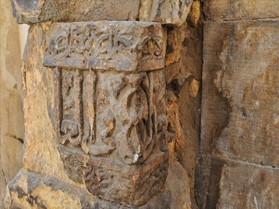
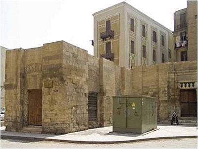
It is located in Al Azhar district - Downtown - Cairo. Al-Moez Ladin Allah Al-Fatimi built it in 969 AD, This street is not only considered a great archaeological and tourist attraction, but also it is a market, which attracts hundreds of thousands daily. In addition, the Archaeologists describe it as the largest open museum of Islamic monuments in the world, because it has preserved all the archaeological buildings so far.
Al-Moez Ladin Allah Al-Fatimi Street on Google Maps
Babal-Futuh
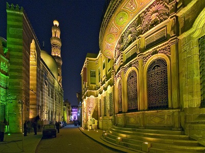
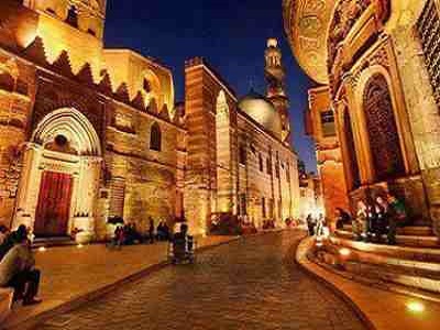
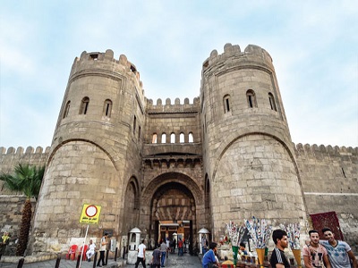
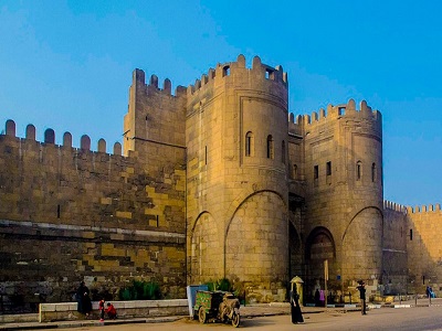
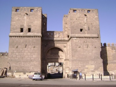
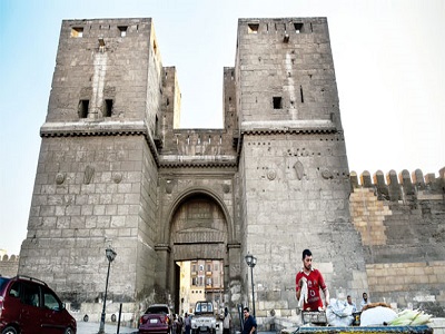
Bab Al-Futuh is located at the beginning of Al-Muizz Street and is a short walk from Bab Al-Nasr. It is one of the gates of the historic walls of Cairo. The gate was built by the Fatimid vizier Badr Al-Gamali to control the entrances to Fatimid Cairo. The gate was constructed of stone and consists of two towers, each with a rounded façade. The entrance is set within a deep recess between the two towers.
Bab Zuweila
Bab Al-Nasr
Bayt El-Suhaymi
School of Sultan Al-Ashraf Barsbay
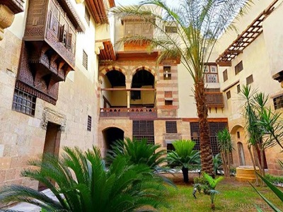
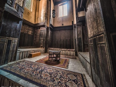
The school is located at Al-Moez Street in the center of Cairo. It was named after the name of its owner, Sultan Ashraf Barsbay. This school is considered one of the greatest Mamluk schools as it reflects the most beautiful era of Islam. Which is the age of the Mamluk Sultans.
School of Sultan Al-Ashraf Barsbay on Google Maps
Al-Kamileya School
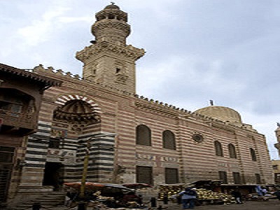
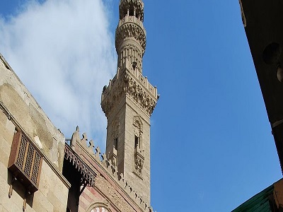
The school is located at the southeast of Al-Moez Street. It was established by Sultan al-Kamil Mohammed, who was one of the most important sultans of The Ayyubid period.The school is considered the second school for teaching Hadith.
Al-Kamileya School on Google Maps
Mosque of Al - Akmar
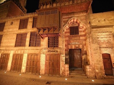
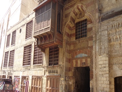
The mosque of Al – Akmar is located at Al-Nahassin Street at Al-Moez Street close to the Qalawun Complex, The mosque is characterized by its intricate and delicate carvings decorated façade that includes three styles of Ornate keffiyeh literature and it is one of the oldest example of the small mosques in Egypt and one of the only remaining Fatimid mosques in Cairo.
Mosque of Al - Akmar on Google Maps
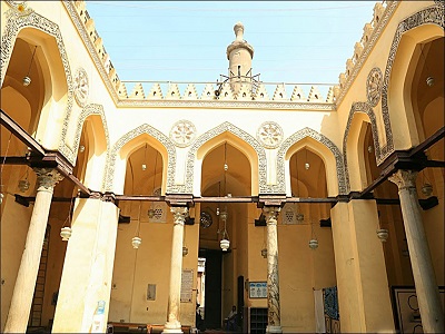
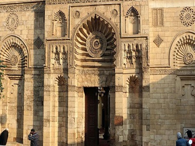
Mosque of Al Hakm b amrAllah
This mosque is located at the end of Al-Muizz Street in the Al-Gamaleya district, adjacent to Bab Al-Futuh. Al-Hakim Mosque is the second-largest mosque in Cairo in terms of area, after Ibn Tulun Mosque.
The mosque was built in 380 AH / 990 AD during the reign of Al-Aziz Billah Al-Fatimi, who died before its completion. His son, Al-Hakim bi-Amr Allah, completed the mosque in 403 AH, and it was therefore named after him and became known as Al-Hakim Mosque.
Mosque of Al Hakm b amrAllah on Google Maps
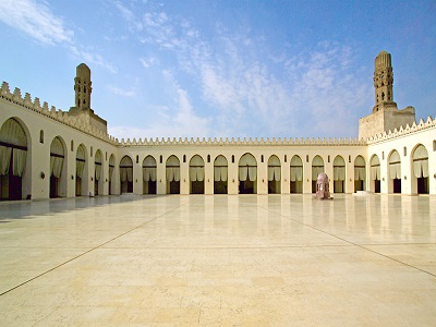
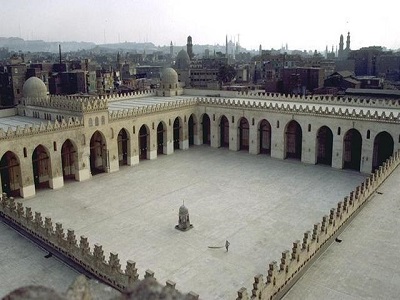
Al Moayyed Mosque
Al-Mu’ayyad Mosque is located on Al-Muizz Street, near Bab Zuweila. It was built by Sultan Al-Mu’ayyad Abu Al-Nasr Shaykh Al-Mahmudi Al-Zahiri, who was one of the Mamluks of Sultan Al-Zahir Barquq.
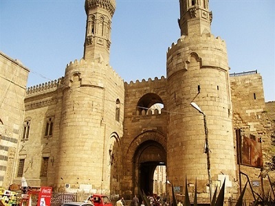
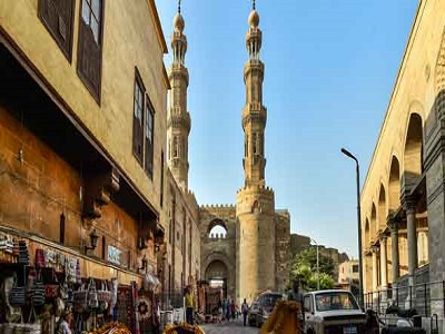
The mosque features marble in a wide variety of colors, brought from different locations and used to decorate the walls, ceilings, and floors in designs that are truly breathtaking. The mosque also has two twin minarets standing above Bab Zuweila, which dominates the surrounding area.
Al Moayyed Mosque on Google Maps
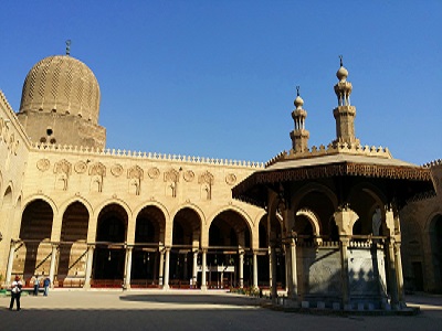
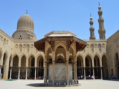
Mosque of Sulayman Agha al-Silahdar
This mosque is located at the beginning of Haret Burjouan of Al-Moez Street. It was named after Sulayman Agha al-Silahdar, who built it in 1839 AD. The mosque is famous for its minaret, which takes the form of a pencil and it has a beautiful circular sabil and an exceptional fountain.
Mosque of Sulayman Agha al-Silahdar on Google Maps
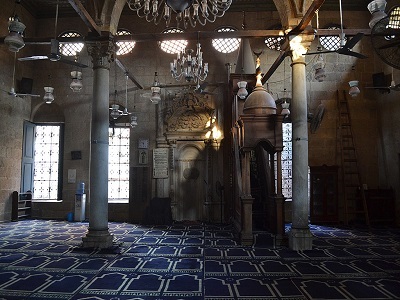
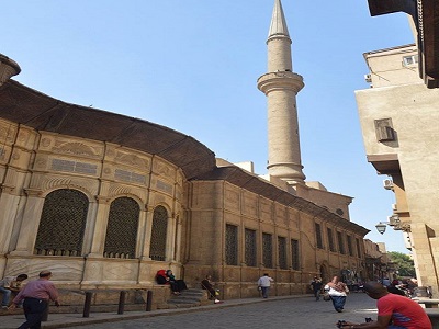
Mosque and School of Sultan Barqouq
This mosque is located on Al-Muizz Street, between Al-Kamiliya Madrasa and the Sultan Al-Nasir Muhammad Mosque. It was built by Sultan Al-Zahir Abu Sa’id Barquq.
The mosque was designed according to the traditional madrasa layout, with a rectangular plan consisting of an open courtyard surrounded by four iwans. Its architect, Ibn Al-Tuluni, carefully planned and arranged the structure. He divided the qibla iwan into three sections, with the central section covered by a wooden ceiling decorated with floral, geometric, and calligraphic designs executed using painting and gilding techniques.
Mosque and School of Sultan Barqouq on Google Maps
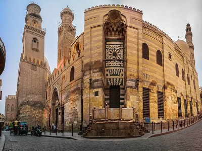
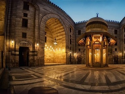
House of Mustafa Jafar Al – Selhdar
Mustafa Jaafar Al-Silahdar House is located in Haret Al-Darb Al-Asfar, branching off Al-Muizz Street, next to Bayt Al-Suhaymi. The house has two entrances: a main entrance opening onto Haret Al-Darb Al-Asfar, and a secondary entrance believed to have opened onto a private alley serving the house.
The main entrance is fitted with two wooden doors decorated with two rectangular copper strips, each secured with nails. The entrance leads to a passageway that connects to the house’s main courtyard.
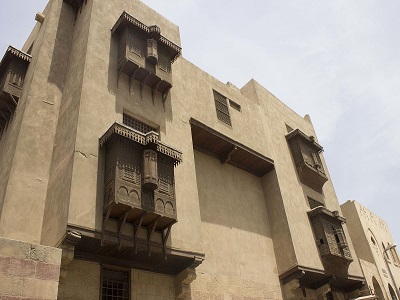
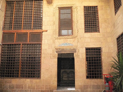
Al Ghouri Complex
Al-Ghuri Complex is located on Imam Muhammad Abdu Street, at the corner of the historic Al-Muizz Street, where it intersects with Al-Ghuriya Street. This architectural masterpiece was built by Sultan Al-Ashraf Abu Al-Nasr Qansuh Al-Ghuri, who was known for his passion for Islamic architecture. He left behind a remarkable architectural and artistic legacy in Egypt, Aleppo, and the countries he ruled.
The complex consists of several buildings arranged on two opposite sides, separated by a passageway covered by a wooden roof. One side contains a mosque and a madrasa where Islamic religious sciences were taught. Opposite them are the mausoleum dome, a sabil topped by a kuttab, a khanqah for Sufis, a house, and a maq'ad. An ancient bathhouse that once stood next to these buildings has since disappeared.
Not far from the complex is Al-Ghuri Wakala, where Tanoura performances are held. These are among the most spectacular and beautiful shows enjoyed by visitors on Saturdays, Mondays, and Wednesdays.
Al Ghouri Complex on Google Maps
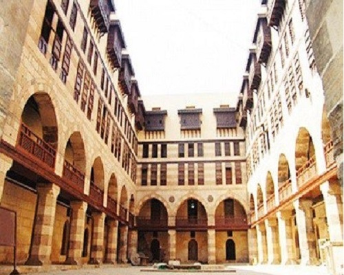
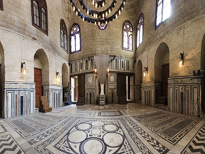
Qalawun Complex
The Qalawun Complex is located on Al-Muizz Street. It was built in 1284 AD by Sultan Al-Mansur Saif Al-Din Qalawun, one of the most famous sultans of the Bahri Mamluk dynasty. It is considered one of the oldest surviving Islamic architectural complexes in Cairo.
The complex derives its archaeological and artistic significance from the uniqueness and diversity of its layout, design, and decorative arts. It consists of two sections: the northern section, located to the right of the main entrance, contains the façade of the mausoleum where Sultan Al-Mansur Qalawun was buried and which is topped by a dome. The southern section contains a madrasa for teaching the four schools of Islamic jurisprudence and for performing prayers. A passageway between the dome and the madrasa leads to the bimaristan, a hospital for treating patients.
Qalawun Complex on Google Maps
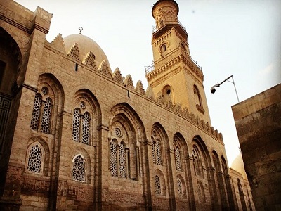
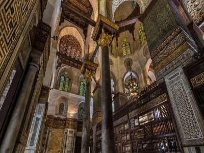
The Palace of Prince Bashtak
Prince Bashtak Palace is located in Haret Darb Qarmiz, specifically on Al-Muizz Street in the Al-Nahhasin area. The palace was built by Prince Saif Al-Din Bashtak Al-Nasiri.
The palace consists of three floors. As part of the Egyptian Ministry of Culture’s efforts to make use of historic palaces and houses, it was converted into an artistic creativity center and became home to the “Arab Singing House,” one of the artistic creativity centers affiliated with the Cultural Development Fund.
The Palace of Prince Bashtak on Google Maps
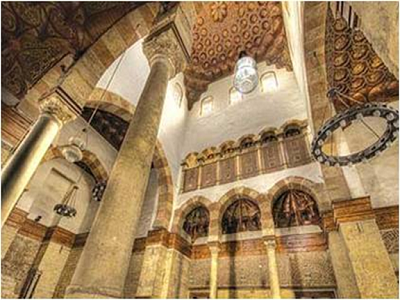
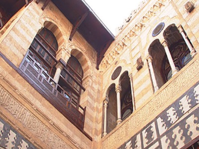
Sabil-Kuttab Abd El-Rahman Katkhuda
The Abd al-Rahman Katkhuda Sabil and Kuttab is located on Al-Muizz Street, with its southern façade overlooking Prince Bashtak Palace. It dates back to 1744, when it was built by Prince Abd al-Rahman Katkhuda.
The building is of particular artistic importance, as it is a self-contained complex consisting of a sabil and a kuttab, showcasing many masterpieces of Islamic art, particularly from the Ottoman period.
Sabil-Kuttab Abd El-Rahman Katkhuda on Google Maps
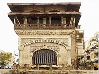
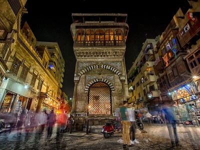
Sabil and Kuttab Khusro Pasha
This sabil is located on Al-Muizz Street, opposite the Sultan Qalawun Complex. It is considered the oldest surviving Ottoman sabil in Cairo.
The sabil consists of an underground structure used to store water, directly above which is another structure for distributing the water to passersby. Although the sabil was built during the Ottoman period, its design is considered a continuation of the traditional Egyptian model for sabil architecture.
Sabil and Kuttab Khusro Pasha on Google Maps
Nafisa al-Bayda Sabil
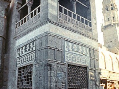
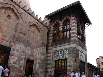
The Nefisa Al-Bayda Sabil and Wakala are located at the southern end of Al-Muizz Street, near Bab Zuweila. The sabil and the façade of the wakala are believed to have been built by Nefisa Al-Bayda, the second wife of Murad Bey, who ruled Egypt for more than twenty years. She was known for her immense wealth and was considered the richest woman of her time as a result of investing her money and trading in the markets.
Nafisa al-Bayda Sabil on Google Maps
Bath of Sultan Al-Ashraf Aynal
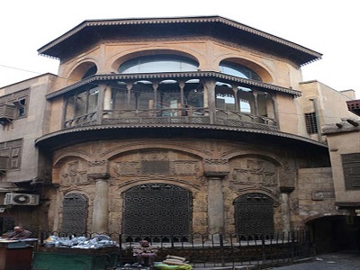
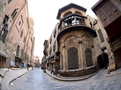
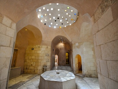
The Bath of Sultan Al-Ashraf Aynal is located in Al-Moez Street. It was built in 861 AH /1456 AD for Social function. Its main entrance, leads to an italic path to prevent anybody from viewing what is inside. Also, it has square reception room with wooden roof has 28 windows.
Bath of Sultan Al-Ashraf Aynal on Google Maps
Al - Zaher Baybars Al - Bandakari School
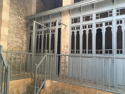
It is located in the southeast of Al-Moez Ladin Allah Al-Fatimi Street and its southern side is the main entrance. Sultan Kamel Mohammed, one of the most important sultans of the Ayyubid dynasty, established it. It was used for teaching religion sciences and it is considered the second school to teach hadith. Now only the main façade still exists.
Al - Zaher Baybars Al - Bandakari School on Google Maps